| Citation: | Xuejun Chen, Fujian Chen, Baochen Liu, Huiming Bao. GIS-Based Evaluation of Danger in Karst Collapse. Journal of Earth Science, 2001, 12(2): 132-136.

|
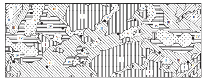
In this paper,feasibility and advantage of GIS technology are discussed to make a quantitative evaluation of karst collapses,a fast and precise evaluation method for developing interface between the karst collapse and GIS-based evaluation model is used to predict major natural geological disasters. A complete procedure of fuzzy-hierarchical GIS-based evaluation of karst collapses is illustrated with the karst collapses in western urban area of Guilin,China.

| Chen X, 1998. Reconnaissance Report of Karst Collapse Disasters in Western Urban Area of Guilin, Tournal of Guilin Institute of Technology, 8: 100-115 |
| Chen Z, 1992. GIS and the Analysis, Simulation and Decision-Making of Water Resources System. Proceedings of Hydrogeology and Engineering Geology. China University of Geoscience Press. 60-64 |
| Fu Y, 1986. Application of Fuzzy Mathematics in Water Quality Evaluation. Wuhan: Press of Institute of Center China. 45-60 |
| Hu C, 2000. Application of GIS Technic in the Prediction of Karst Collapse. Journal of Guilin Institute of Technology, (2): 117-119 |
| Kuang Y, 1990. Karst Collapses in South China. Nanning: Guangxi Science Publishing House. 25-40 |

Figures(2) / Tables(1)
Copyright © 2013-2020 Journal of Earth Science 鄂ICP备15021562号-2
Tel: +86-27-67885075 Fax: +86-27-67885075 E-mail: xbb@cug.edu.cn
Address: Editorial Office of Journal, China University of Geosciences, Yujiashan, Wuhan, Hubei 430074, P. R. China
Supported by:
Beijing Renhe Information Technology Co. Ltd
E-mail:
info@rhhz.net


 DownLoad: